
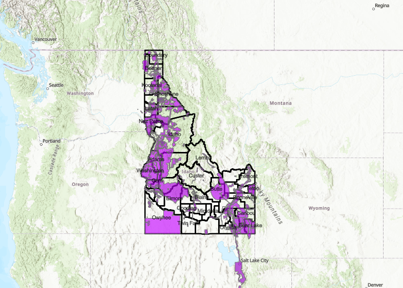
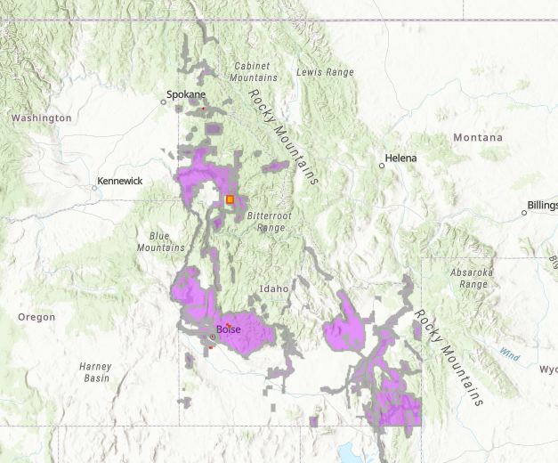
Existing Data
View available lidar data and derived products
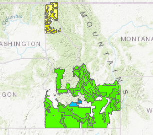
Upcoming Data
View in-progress and planned data
“Wishlist” and Collaboration
Do you have data to share, or looking to collect data?
Need Help Downloading?
Setting up a GLOBUS account & Troubleshooting