
USGS’s 3DEP can potentially generate $6m annually in Idaho
Agriculture and precision farming, natural resources conservation, and infrastructure and construction management are the top three business uses of the 3D elevation data in Idaho, according to the National Enhanced Elevation Assessment report.
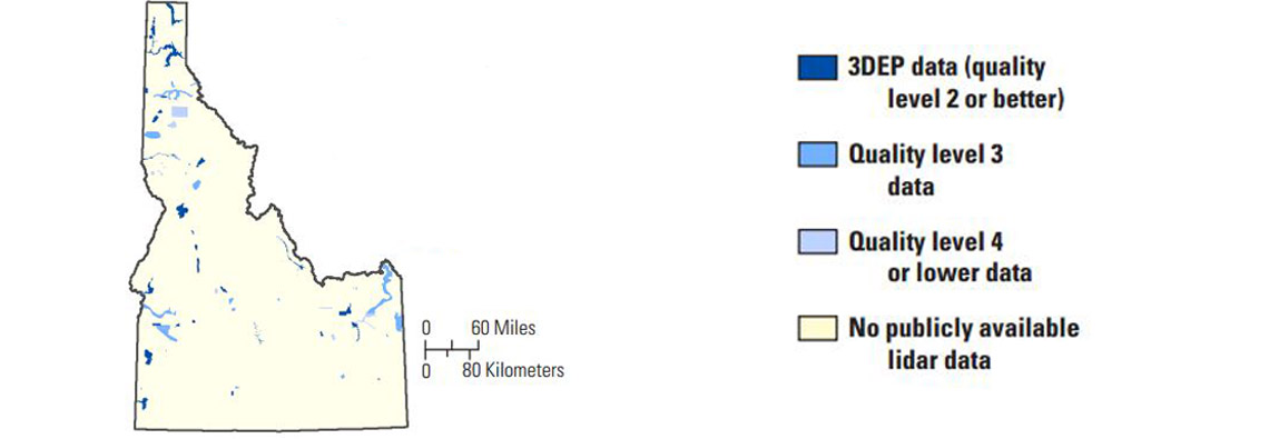
USGS’s 3D Elevation Program (3DEP) has released an elevation data factsheet for Idaho, which estimates potential annual benefits of at least $6 million from the 3DEP initiative in the state of Idaho.
3DEP is a nationwide initiative to improve coverage and accuracy of high-resolution elevation data. The program is expected to be operational by January 2015 and to have complete coverage of the United States by 2022, depending on funding and partnerships.
Further information: Carswell, W.J., Jr., 2013, The 3D Elevation Program—Summary for Idaho: U.S. Geological Survey Fact Sheet 2013–3053, 2 p., http://pubs.usgs.gov/fs/2013/3053/.