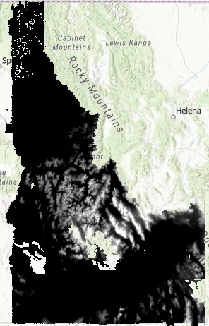
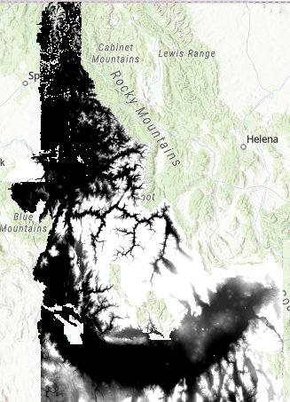
Existing Lidar Data
Click on the map below for your AOI. To view the metadata, click on “view metadata” in the pop-up window.
Other Lidar Data:
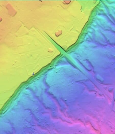
BARE EARTH DTM and/or PIT-FILLED BARE EARTH DTM DATA
This collection contains 15′ quads with no project specific data or lidar point cloud (LPC) data.
Web Services (ArcGIS Pro):
Download the Bare Earth and Top of Canopy Zip Folders Here: