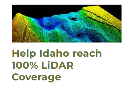
Idaho Lidar Resources
STATE LIDAR PLAN
Version 2.0 to be uploaded November 2025.
The Idaho Geospatial Office (IGO) functions as part of ITS and works collaboratively with Federal, State, and Local government agencies, Tribal Nations, and private organizations to improve the acquisition, visibility, value, and use of geospatial data throughout the state of Idaho.
Elevation Technical Working Group
The Elevation TWG meets on a monthly basis and is a voluntary group of state, tribal, federal, private, and academic members. The intent is to coordinate elevation data products in the State of Idaho.
Inside Idaho
INSIDE Idaho is the geospatial data clearinghouse for the State of Idaho recognized by the Idaho Geospatial Council – Executive Committee.
The Idaho Map Experience
The Idaho Map, also referred to as TIM, is Idaho’s spatial data infrastructure. It contains many statewide authoritative or best available datasets, which have been selected by various Technical Working Groups under the authority of the Idaho Geospatial Council.
USGS 3D National Topo Model
The 3D National Topography Model (3DNTM) is a new initiative that updates, improves, and integrates USGS elevation and hydrography data to support the most demanding scientific requirements and enable data-driven decisions across user communities.
To keep up-to-date with the latest GIS/Lidar news and get involved in lidar discussions statewide, please join the Geotech Listserv: