Patrick Adam, graduate student from University of Idaho, has been working on developing techniques to predicting wood pecker habitat using GLAS satellite lidar.
Researchers from University of Idaho have proved they can predict the presence of the Pileated Woodpecker in a coniferous forest in northwestern Idaho, using small footprint airborne lidar, large footprint satellite lidar from the Geoscience Laser Altimeter System (GLAS), and field survey data. The results were presented at the annual meeting of American Geophysical Union (AGU) in December, 2010.
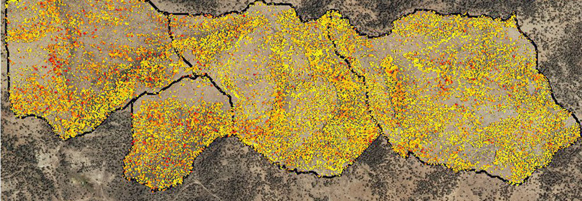
A total of 60,628 individual juniper trees were identified and their aboveground biomass estimated using lidar point cloud data
Researchers from Idaho State University and USDA-ARS use lidar to estimate carbon in encroaching juniper woodlands in southwestern Idaho.
Woody encroachment into shrub steppe and grassland ecosystems is a global phenomenon. Juniper encroachment is one of the most prominent changes occurring in rangelands of western North America. The spatial extent of pinyon-juniper woodlands, the third most common vegetation type in the USA, is documented to have increased by an order of magnitude since the mid-19th century. Juniper encroachment can decrease understory vegetation cover and forage, increase soil erosion, alter soil fertility, and deteriorate wildlife habitat. Intensive land treatments, including prescribed burning and cutting, are commonly performed to reduce woody cover. The consequences of both woody encroachment and intensive land treatments for terrestrial carbon (C) stocks are unclear. Woody encroachment may contribute significantly to the global C sink. Large uncertainties exist, however, in global- and continental-scale estimates due to the coarse-scale of the data and models. Intensive land treatment activities can slow down or reverse the accumulation of C stocks that occurs with woody encroachment.
Estimates of C accumulation associated with juniper encroachment have varied greatly from -0.11 to 0.22 MgC/ha/yr due to the methods and scale of analysis. Previous optical and multispectral remote-sensing approaches provide only a 2-dimensional measurement of juniper cover change. To improve estimates of aboveground woody C storage, the researchers tested a new technique using high-resolution, 3-dimensional lidar measurements of individual juniper trees.
Field-measured tree age data indicate that the western juniper communities in the study area of South Mountain watershed in southwestern Idaho are characteristic of post-settlement expansion communities. The results indicate that lidar-derived measurements produced accurate estimates of juniper tree height, canopy cover, and density. Furthermore, individual tree and landscape-scale biomass can be quantified with lidar, which greatly extends the ability to accurately classify successional stages of juniper encroachment relative to previous 2-dimensional remote sensing procedures. The results from this study indicate that above-ground storage of C is enhanced during the transition from phase I to phase III of successional stages of juniper encroachment; phase III can store almost three times the aboveground C as encroachment phase I.