
The National Science Foundation awarded a $320,000 grant to develop software tools to analyze LiDAR data.
The collaborative research is led by Nancy Glenn (Idaho State University’s Department of Geosciences Boise Center Aerospace Laboratory), Andrew Hudak (U.S. Forest Service Rocky Mountain Research Station), and Joe Wheaton (Utah State University) and in partnership with Open Topography.The project will run three years.
The software tools will be available for free on the NSF-funded OpenTopography supercomputer at the UC-San Diego Supercomputing Center and on Google Code. The new tools will also give student researchers easier access to point-cloud data.
“We expect that hundreds of new users will employ and benefit from these tools based on the existing user base, enhanced exposure provided by integration into OpenTopography, and the growing ease of acquisition and interest in 3-D point-cloud data,” said Glenn.
The grant, awarded in fall 2012, builds on the work of BCAL postdoctoral researcher Rupesh Shrestha, Ph.D. Over the past three years, he has developed similar tools to help undergraduate and graduate student researchers at multiple universities around the world to analyze 3-D data from LiDAR, a remote-sensing technology that generates 3-D point-cloud data.
For more information, contact Nancy Glenn at 208-373-1819 in Boise.
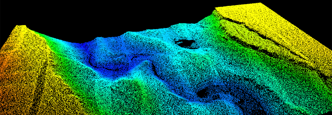
Making Point Clouds Useful for Earth Science: This collaborative project between Idaho State University (ISU), Utah State University (USU), and USFS Rocky Mountain Research Station (RMRS) will develop the next generation of analytical and processing tools for new airborne and ground-based LiDAR monitoring data. The tools will help earth scientists and natural resource managers exploit these data streams to address some of our most pressing environmental questions and management challenges. The software tools will target Earth Science-specific analysis of 3-D point cloud data from platforms like airborne LiDAR (ALS), ground-based LiDAR (TLS), multi-beam SONAR (MBS), and/or Structure from Motion (SfM). The tool development will scale-up existing documented and proven algorithms to be more accessible, as well as build new algorithms that are necessary to address emerging challenges such as change detection analysis from repeat surveys, improved bare earth surface generation, and novel fusion of point clouds collected from different platforms (e.g. ALS and TLS). The new software will be developed collaboratively between geoscientists and computer scientists to optimize performance when handling the large and often problematic data volumes associated with point clouds. This work will provide a suite of community software that will permit innovative and potentially transformative data analysis with the potential to enhance our understanding of numerous earth surface processes.